Mapped Together: Step-by-Step Example
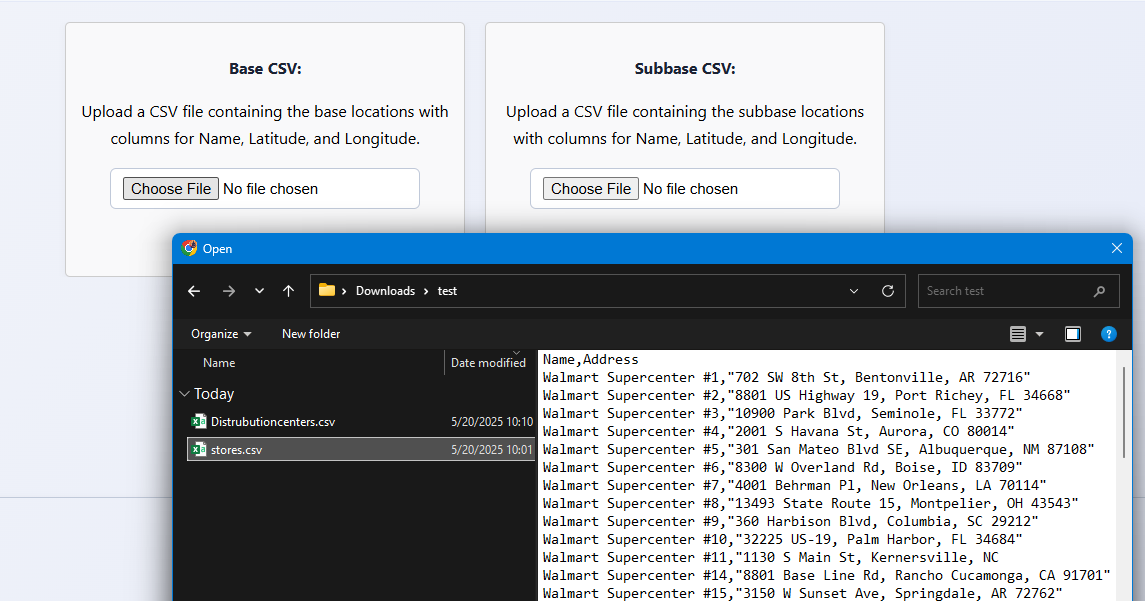
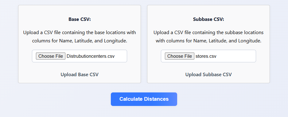
Step 1: Upload Your CSV Files
Start by uploading two CSV files: one for your bases and one for your subbases. Each file should have either coordinates (latitude/longitude) or addresses. The app will use these files to calculate distances.
Start by uploading two CSV files: one for your bases and one for your subbases. Each file should have either coordinates (latitude/longitude) or addresses. The app will use these files to calculate distances.
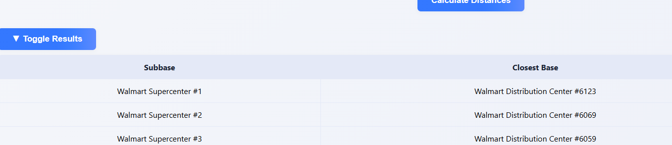
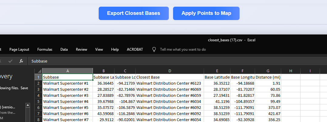
Step 2: View Closest Matches Table
After calculation, you'll see a table showing which base is closest to each subbase, along with the distance in miles.
After calculation, you'll see a table showing which base is closest to each subbase, along with the distance in miles.
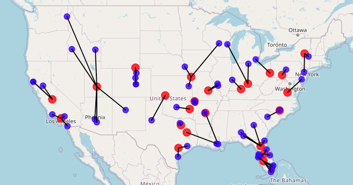
Step 3: Visualize on the Map
The interactive map displays all your bases and subbases. Lines connect each subbase to its nearest base, making it easy to see spatial relationships at a glance.
The interactive map displays all your bases and subbases. Lines connect each subbase to its nearest base, making it easy to see spatial relationships at a glance.

Step 4: Zoom In for Details
You can zoom in on the map to see more detail about the locations and their connections.
You can zoom in on the map to see more detail about the locations and their connections.
Step 5: Export Results
Export your results as a CSV file for further analysis or sharing.
Export your results as a CSV file for further analysis or sharing.